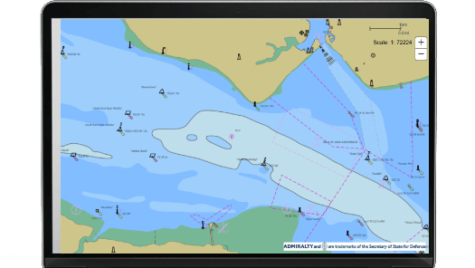
AVCS Online
A shore-based version of the world's leading maritime chart service that is used on-board most ships trading internationally.
Key features include:
- Supports shore-based maritime decision-making including vessel tracking, planning and responses to accidents and emergencies
- Can be used by shipping companies, government agencies and other professional users who need a shore-based version of AVCS
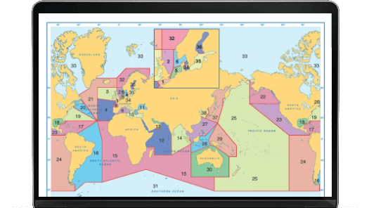
- Provides world-leading coverage, including all available scales just like AVCS used on ships
- Has similar functionality as ECDIS, including pick reports where you can select a feature for more information
- Can be integrated into existing systems as a standalone chart solution, or as a base layer with other data layers added
- Uses internationally recognised Open Geospatial Consortium (OGC) standards and internet-accessible Web Map Service (WMS) protocols