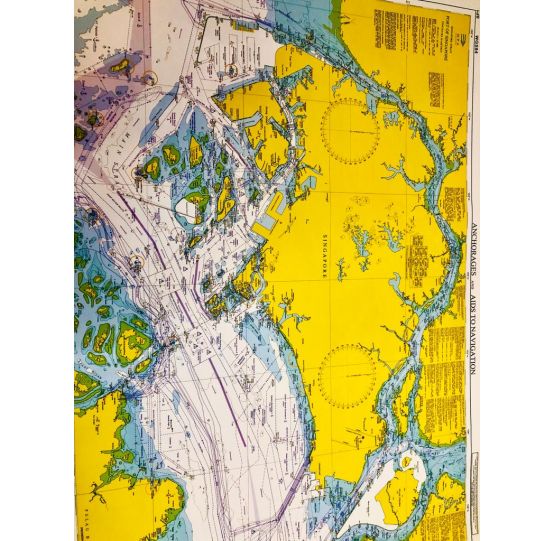
S'pore Strait Port of S'pore - Anchorages & Aids to Navigation (GSP1)
S$42.22
January 2024
GSP-1 Anchorages and Aids to Navigation (with area reference)
In stock
Coverage:
Latititude 1°06.43'N 1° 29.40'N
Longitude 103°34.00'E 104°08.10'E
Scale: 1: 65 000
Size of Chart: 973.2 x 651.3 mm
This new edition includes updated surveys, changes to topography, aids to navigation,working areas and submarine cables.
This chart is provided with grid area reference.


